Survey Begins on Tittabawassee River Watershed
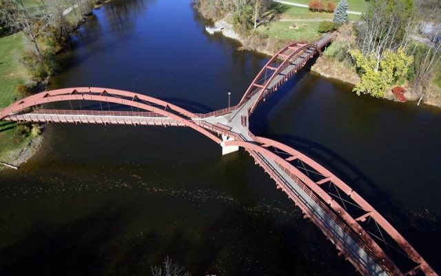
Midland County and the Midland Business Alliance (MBA) Advisory Committee on Infrastructure are conducting a survey of Midland County rivers starting Tuesday, November 2 to collect the necessary data for the U.S. Army Corps of Engineers hydrologic and hydraulic study of the Tittabawassee River Watershed.
Surveying and geographic information system mapping of about 60 miles of waterways, including the Tittabawassee River, Sturgeon Creek, Snake Creek, Bullock Creek, Salt River, Chippewa River and Pine River will take place over the next several months, is scheduled to be completed March 31, 2022. Area residents should be aware that surveying crews will be seen regularly around the rivers.
Updates to the surveys can be seen online at MBAmi.org/floodstudy and to the MBA Facebook page.