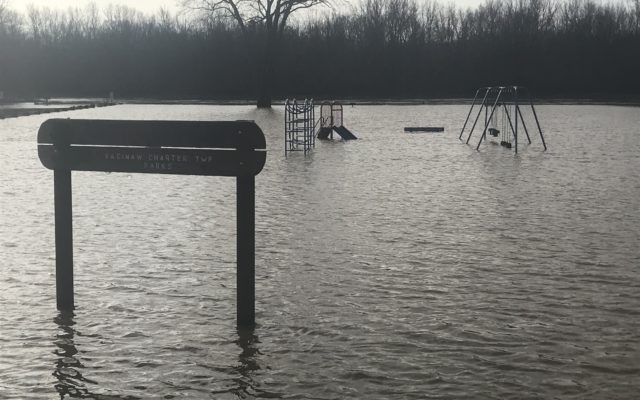
Flooding Possible As Local Rivers Rise Through Tuesday
Flood Warnings have been issue for the Tittabawassee and Saginaw Rivers.
Widespread 2 to 3 inches of rain has fallen from Sunday through 8am
this morning across the drainage basins. Another widespread 1 to 2 inches
is likely through Tuesday morning. This is generating large amount of
runoff that will push the rivers well over flood stage. Depending on
exactly how much falls today and tonight will determine if the
Tittabawassee reaches major level or stays in the moderate level.
Easterly flow all week will also cause higher levels in Saginaw Bay
that will hinder the flow out of the Saginaw River and help elevated
the stage.
The National Weather Service Detroit/Pontiac has issued a
* Flood warning for
the Tittabawassee River from Midland downstream into Saginaw.
* From now until further notice.
* At 1 PM Monday the stage is 19.4 feet and rising.
* Flood stage is 24.0 feet.
* Major flooding is forecast.
* Forecast is to rise above flood stage by tonight…
and crest around 28.5 feet early Wednesday morning.
* Flood history…This crest compares to a previous crest
of 27.5 feet on Feb 22 2018.
* Flood warning for
the Saginaw River at Saginaw.
* From now until further notice.
* At 1 PM Monday the stage is 17.5 feet and rising.
* Flood stage is 17.0 feet.
* Minor flooding is occurring and Moderate flooding is forecast.
* Forecast is to crest around 23.0 feet Wednesday evening.
* Flood history…This crest compares to a previous crest
of 22.4 feet on Apr 21 2013.
Safety message…TURN AROUND..DON’T DROWN!